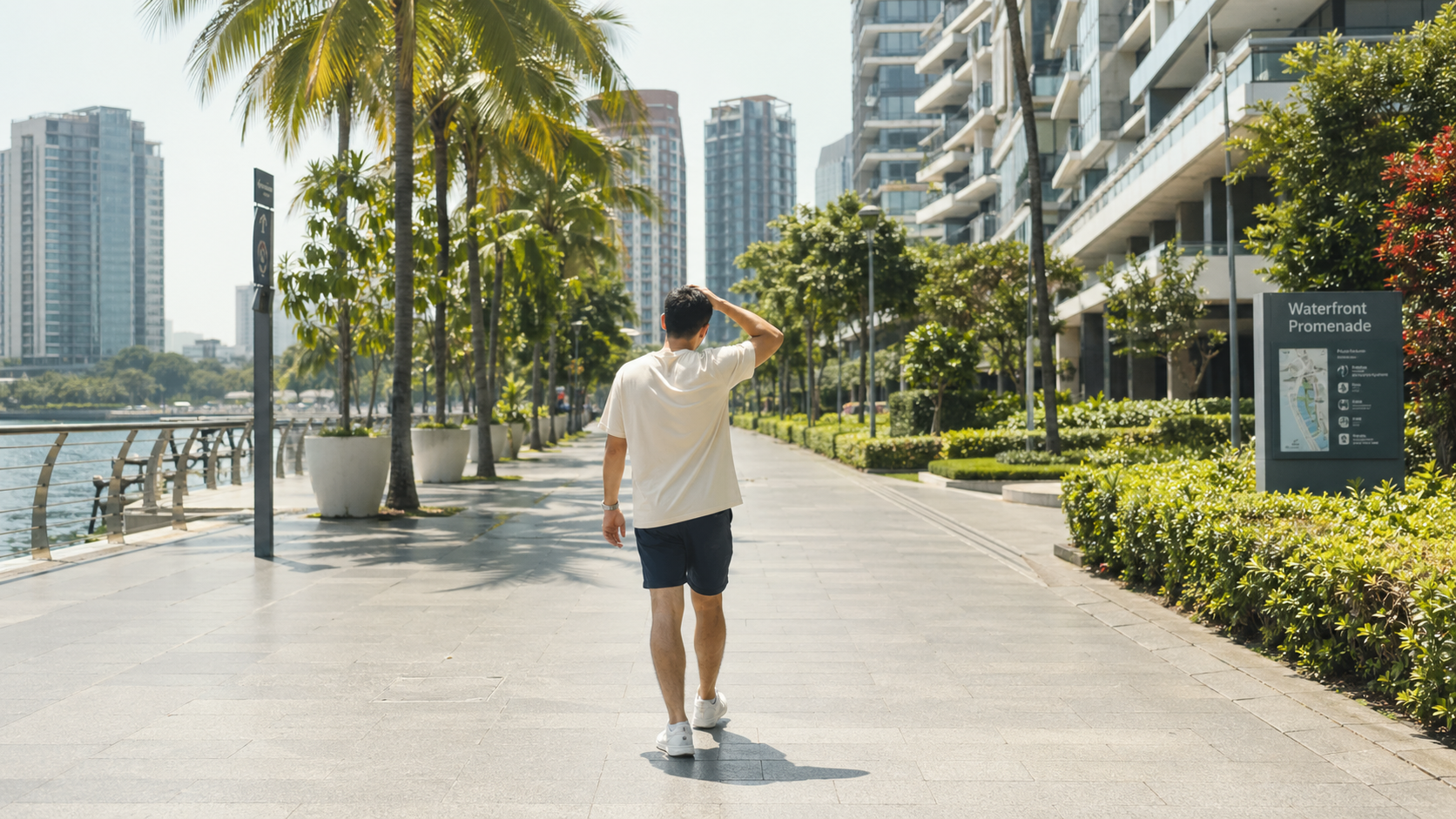
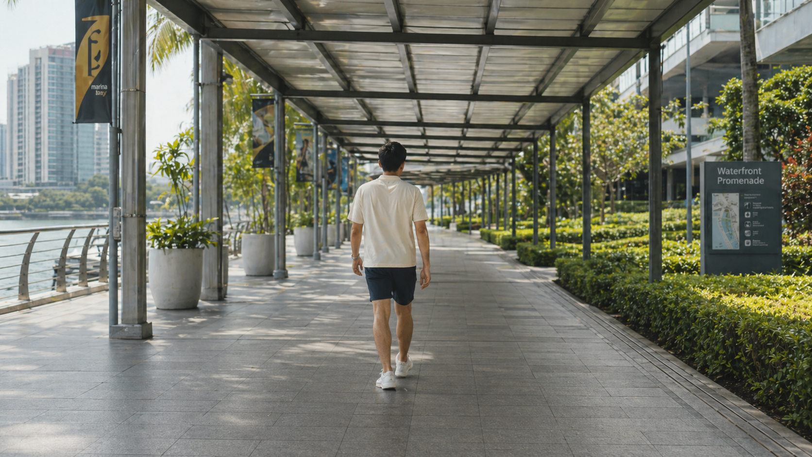
Heat changes the walk
A short open pavement can feel much longer when afternoon sun, road heat, and traffic crossings stack up.
Comfort-first walking · Singapore
Why comfort wins
A short open pavement can feel much longer when afternoon sun, road heat, and traffic crossings stack up.
Singapore showers can turn a normal route into a dash between bus stops, malls, and covered linkways.
When the route feels manageable, walking becomes easier to choose for commutes, errands, and MRT transfers.
Route board
Weather mode
Service information
Yes. When you calculate a route, KomfyWalk can use current rainfall, UV, and temperature signals to help rank routes for the conditions along your walk.
It is best treated as a planning aid. Covered links and shade data can change, so KomfyWalk shows the tradeoffs and percentages rather than guaranteeing conditions.
KomfyWalk is Singapore-first because it is built around local pedestrian infrastructure, public weather feeds, and Singapore location data.
Anyone walking between offices, MRT stations, malls, schools, or appointments who wants less heat and rain exposure.
Ready to compare?